中城村 奥間 集落の 発祥の地
なかぐすくそんおくましゅうらくのはっしょうのち
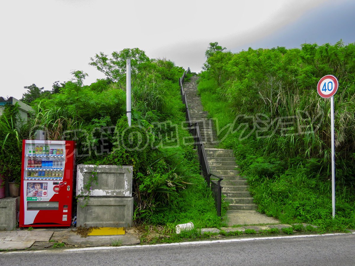
沖縄本島の中東部 中城村役場から西に4km、普天間基地の東側にあるキシマコノ嶽(中頭郡中城村)の説明がある。
奥間集落は、中城村の東部、中城湾に面した地域に位置する。集落の古島は、現在の北上原にあるキシマコノ嶽付近にあったと伝えられている。その後、奥間南側の上川原の山側、イービヌメー付近へと移り、現在の奥間原に集落が形成されたとされる。
奥間は、琉球王国時代の行政区画である中城間切に属した村の一つである。古文書の「絵図郷村帳」には「おくま村」と記され、「琉球国高究帳」にも奥間村の名が見える。近世には農村として営まれ、田畑を中心とする生産活動が行われていた。
キシマコノ嶽は、単に集落が最初に形成された場所というだけでなく、奥間の人々が現在も祈りを捧げる信仰の場である。
写真
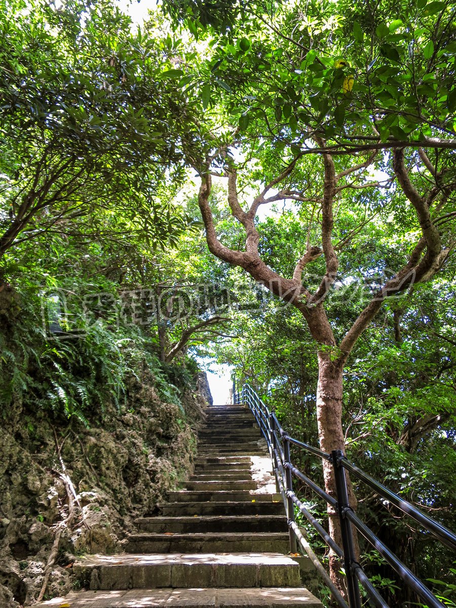
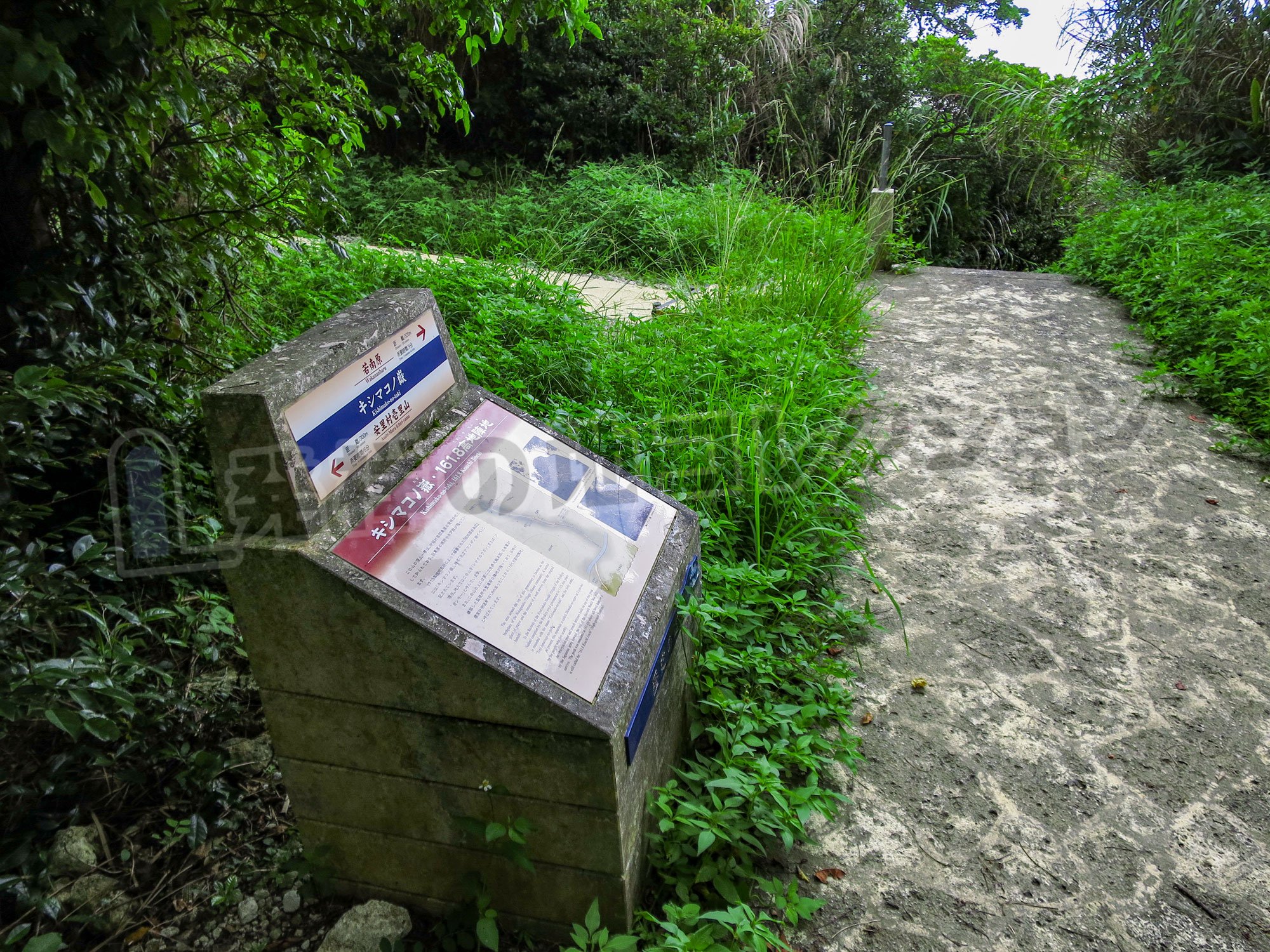
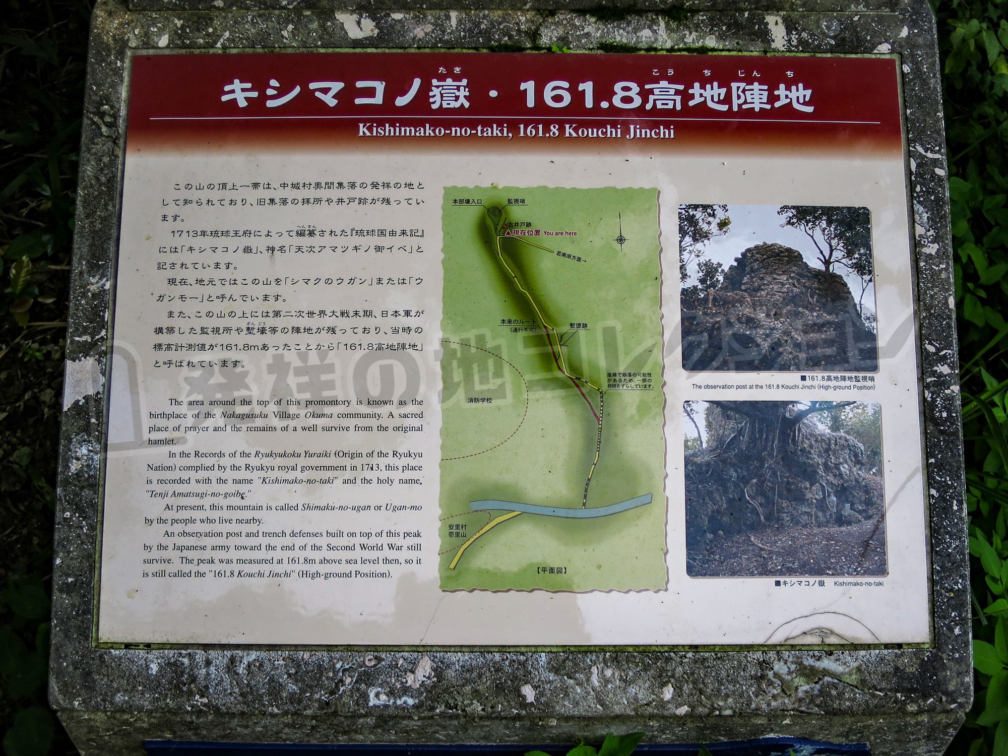
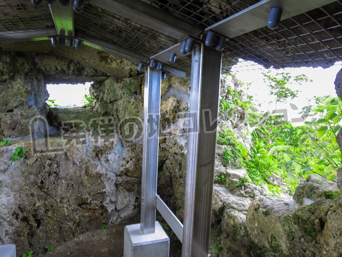
碑文
キシマコノ嶽・ 161.8
高地陣地
Kishimako-no-taki, 161.8 Kouchi Jinchiこの山の頂上一帯は、中城村奥間集落の発祥の地として知られており、旧集落の拝所や井戸跡が残っています。
1713年琉球王府によって編纂 された『琉球国由来記』には「キシマコノ嶽」、神名「天次アマツギノ後イベ」と記されています。
現在、地元ではこの山を「シマクのウガン」または「ウガンモー」と呼んでいます。
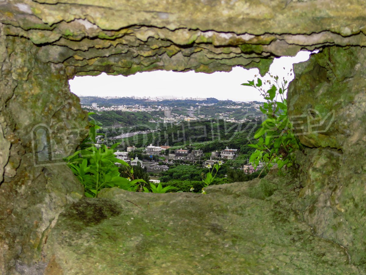
また、この山の上には第二次世界大戦末期、日本軍が構築した監視所や塹壕 等の陣地が残っており、当時の標高計測値が161.8mあったことから「161.8高地陣地」と呼ばれています。The area around the top of this promontory is known as the birthplace of the Nakagusuku Village Okuma community. A sacred place of prayer and the remains of a well survive from the original hamlet.
In the Records of the Ryukyukoku Yuraiki (Origin of the Ryukyu Nation) complied by the Ryukyu royal government in 1713, this place is recorded with the name "Kishimako-no-taki" and the holy name "Tenji Amatsugi-no-goibe."
At present, this mountain is called Shimaku-no-ugan or Ugan-mo by the people who live nearby.
An observation post and trench defenses built on top of this peak by the Japanese army toward the end of the Second World War still survive. The peak was measured at 161.8m above sea level then, so it is still called the "161.8 Kouchi Jinchi"(High-ground Position).


 グーグル マイマップ
コメント